


Explore Ashvegas
Tags
art (65)
Asheville (2725)
Asheville Citizen-Times (82)
Asheville City Council (202)
Asheville Police Department (102)
bar (63)
beer (279)
Biltmore Estate (61)
Black Mountain (73)
brewery (153)
coffee (60)
comedy (84)
craft beer (330)
crime (66)
Curate (60)
downtown (163)
Esther Manheimer (68)
featured (1728)
film (114)
food (264)
French Broad River (64)
Grey Eagle (108)
grocery store (63)
Haywood Road (177)
Highland Brewing (62)
hotel (114)
Lexington Avenue (78)
Merrimon Avenue (74)
Moogfest (59)
movie (91)
movie review (278)
music (142)
New Belgium Brewing (80)
newspaper (60)
Patton Avenue (59)
photography (68)
restaurant (242)
River Arts District (167)
south slope (127)
Stu Helm (292)
The Mothlight (62)
The Orange Peel (113)
The Week in Film (85)
UNC Asheville (70)
West Asheville (292)

Menu

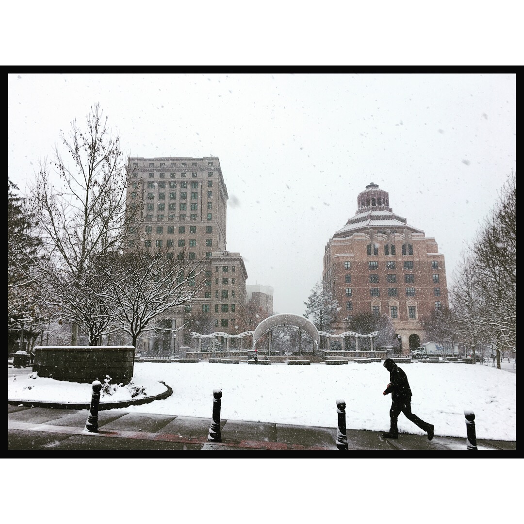
Where are the THUNDERSNOW maps??
RIGHT HERE
best example of thundersnow I have ever seen!
Why would they want to encourage people to go the grocery store. Sheesh.